Neighborhood
Boundaries, streets & character
What Sedgefield is, where it starts and ends, and what makes its streets feel different from the neighborhoods around it.
Where Sedgefield begins and ends
Sedgefield sits within Charlotte's 28209 zip code, generally described as bounded by Park Road to the east, Woodlawn Road to the south, and South Boulevard to the west. As with most Charlotte neighborhoods without a formal legal boundary, exact edges are somewhat informal and interpreted differently by residents, agents, and mapping services — treat any map, including ours, as a helpful approximation rather than a survey line.
To the north and east, Sedgefield transitions into Dilworth and Madison Park; Montford's restaurant district sits just across Park Road; Myers Park is a short distance further east. To the west, Sedgefield backs up to the LYNX Blue Line corridor and the LoSo/South End area, which has seen the most dramatic redevelopment of any part of south Charlotte in the past fifteen years.
Street pattern and layout
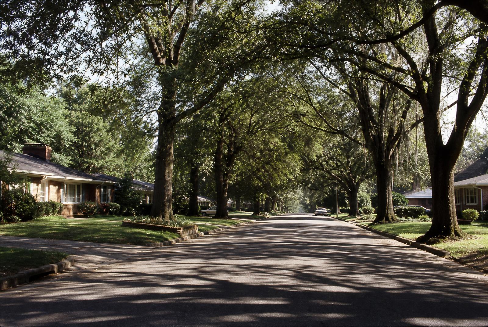
Unlike Dilworth's streetcar-era grid, Sedgefield's interior streets curve and loop in the mid-century subdivision style typical of postwar American suburbs — designed for cars, cul-de-sacs, and a quieter, more insular feel even though the neighborhood sits close to the urban core. Lots tend to be wider and deeper than in the older streetcar suburbs, which is part of what has made the area attractive for additions and rebuilds: there's often physical room to expand that doesn't exist next door in Dilworth.
Mature trees — willow oaks, pin oaks, mature pines — canopy much of the interior, softening a housing stock that is otherwise fairly modest and uniform in scale.
Character: quieter than its neighbors, but not sleepy
Where Dilworth trades on walkability to a dense commercial strip and Myers Park trades on grand, tree-lined boulevards and larger historic homes, Sedgefield's identity is more understated: a residential neighborhood people drive or bike out of to eat, shop, and socialize, but come home to for the quiet and the yard space. That's changing gradually as younger families move in, renovate, and become more invested in neighborhood identity and civic involvement, but the day-to-day feel remains residential first.
Map
Sedgefield in context
Showing 19 of 19 places near Sedgefield. The dashed outline marks the neighborhood's approximate boundary.
Select a pin — or a place in the list — to see details about landmarks near Sedgefield.
Neighboring communities
- Dilworth — Charlotte's first streetcar suburb, immediately north, known for its dense bungalow streetscape and East Boulevard's shops and restaurants.
- Madison Park — a smaller neighborhood bordering Sedgefield, similar in scale and era.
- Montford — technically a small district more than a residential neighborhood, known today as a restaurant and nightlife strip along Montford Drive.
- Myers Park — Charlotte's grandest early-20th-century neighborhood, a short distance east across Park Road, with larger historic homes and famously tree-lined streets like Queens Road.
- South End / LoSo — the light-rail corridor to the west, transformed over the past fifteen years from industrial land into dense apartments, breweries, and offices.
See our head-to-head comparison page for a closer look at how Sedgefield stacks up against each.